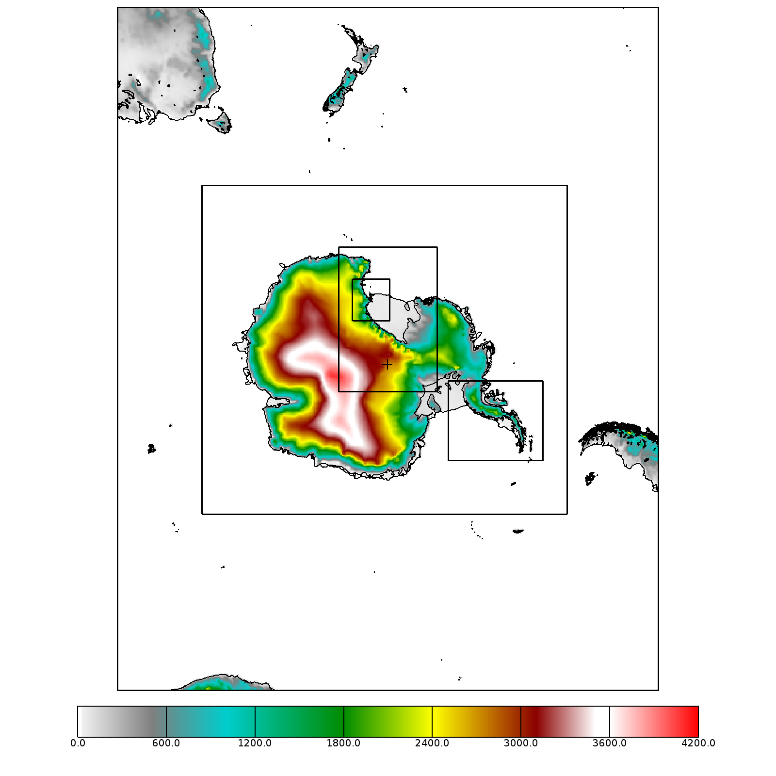
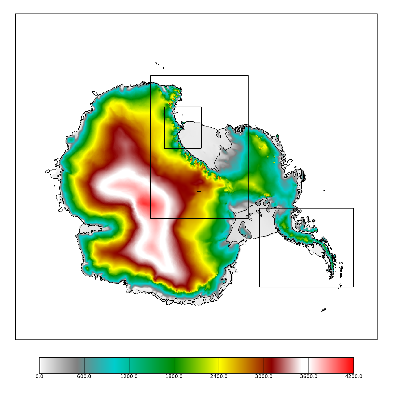
| Grid Index | Grid Cell Size | Region | output interval | forecast time range | AMPS domain 1 | 24-km | Antarctica and Southern Oceans | 3-hourly | 0-120 hours |
|---|---|---|---|---|
| AMPS domain 2 | 8-km | Antarctic Continent | 3-hourly | 0-120 hours |
| AMPS domain 3 | 2.67-km | Ross Sea / Ross Ice Shelf / South Pole | 1-hourly | 0-39 hours |
| AMPS domain 5 | 0.89-km | Ross Island and Vicinity | 1-hourly | 0-39 hours |
| AMPS domain 6 | 2.67-km | Antarctic Peninsula | 1-hourly | 0-39 hours |
| Grid Index | Grid Cell Size | Region | output interval | forecast time range | AMPS domain 1 | 30-km | Antarctica and Southern Oceans | 3-hourly | 0-120 hours |
|---|---|---|---|---|
| AMPS domain 2 | 10-km | Antarctic Continent | 3-hourly | 0-120 hours |
| AMPS domain 3 | 3.3-km | Ross Sea / Ross Ice Shelf / South Pole | 1-hourly | 0-39 hours |
| AMPS domain 5 | 1.1-km | Ross Island and Vicinity | 1-hourly | 0-39 hours |
| AMPS domain 6 | 3.3-km | Antarctic Peninsula | 1-hourly | 0-39 hours |
| Grid Index | Grid Cell Size | Region | output interval | forecast time range | AMPS domain 1 | 30-km | Antarctica and Southern Oceans | 3-hourly | 0-120 hours |
|---|---|---|---|---|
| AMPS domain 2 | 10-km | Antarctic Continent | 3-hourly | 0-120 hours |
| AMPS domain 3 | 3.3-km | Ross Sea / Ross Ice Shelf | 1-hourly | 0-39 hours |
| AMPS domain 4 | 3.3-km | South Pole | 1-hourly | 0-39 hours |
| AMPS domain 5 | 1.1-km | Ross Island and Vicinity | 1-hourly | 0-39 hours |
| AMPS domain 6 | 3.3-km | Antarctic Peninsula | 1-hourly | 0-39 hours |

