US Weather Research Program (USWRP) and
NOAA/NEXRAD Radar Operations Center (ROC)
This long-lived mesoscale convective event exhibited several radar-detectable hazards including localized heavy rain, hail (reflectivities 55-65 dBZ), strong winds (radial velocities exceeding 25 m/s) as well as a large Mesoscale Convective Vortex (MCV).
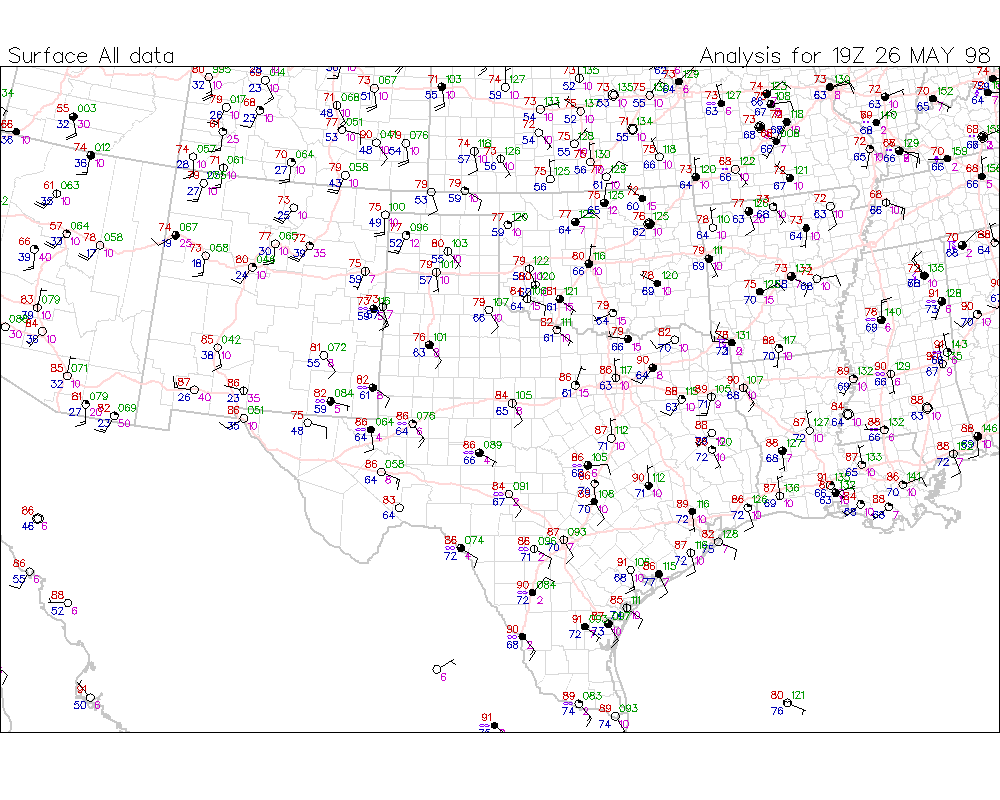
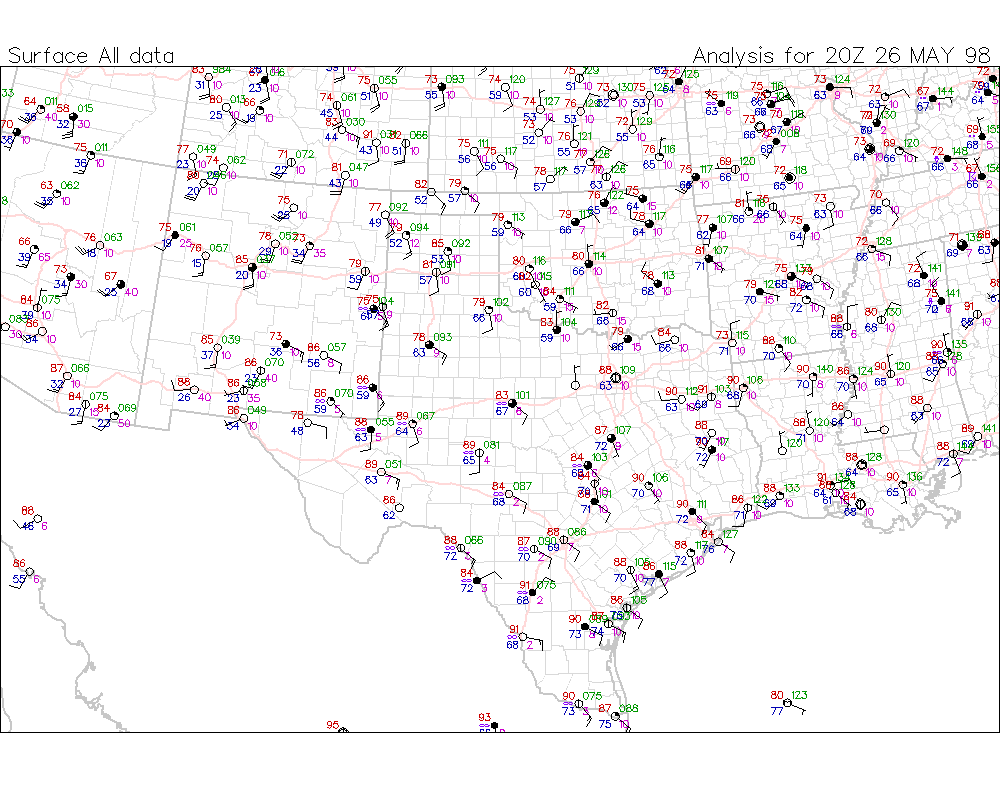
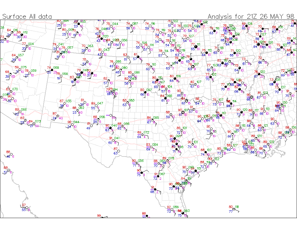
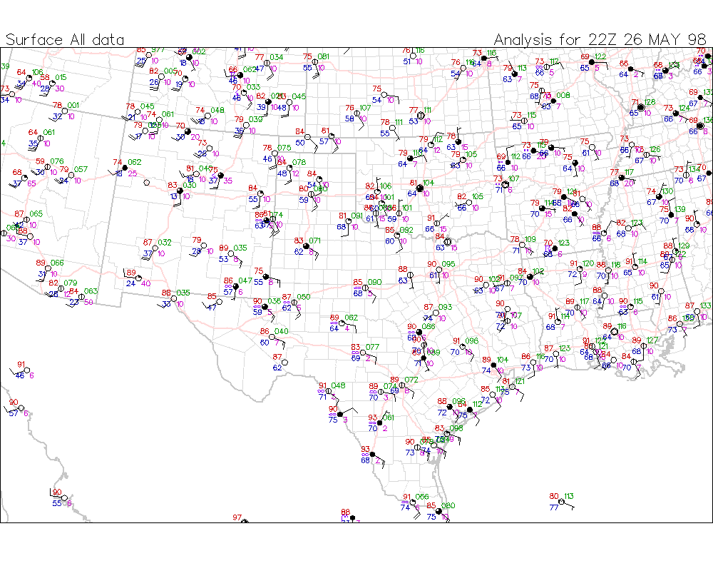
The May 26 afternoon convection which had formed over west Texas and southeast New Mexico merged into an extensive nocturnal squall line that continued eastward through the night. During its lifetime this squall line displayed three bow-shaped segments with enhanced stratiform precipitation behind the line. The southernmost bow-shaped segment continued east-southeastward and eventually dissipated by 1500 UTC on the 27th while the northernmost segment moved on into southeast Oklahoma where it first weakened, then developed into an MCV. This slow-moving MCV persisted on into Arkansas where it eventually dissipated around 0000 UTC on the 29th. The MCV was certainly responsible for extending this event into a long-lived sequence of convective weather.
Relevant images:
Above each two-dimensional swath image is a histogram that represents the NS-averaged value of RainRate (mm/hr) within a series of narrow (0.25 deg wide) longitude strips.