MM5 Model V2
V2 Timing Results
Pre & Post Processing V2 Releases New in V2 Terrain Regrid Little_r
V2 Source Code
V2 Tutorial Notes
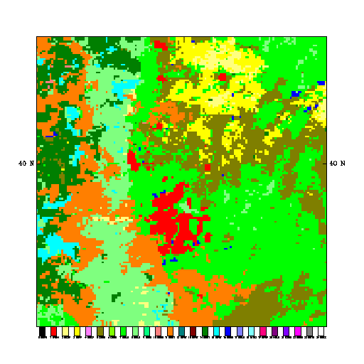
A landuse map of Denver-Boulder and its vicinity created using the 24-category USGS vegetation dataset on 1-km MM5 grid.